Selejia

Malediction: Selejia

Created for the Malediction Lore Primer, a world guide for Loot Studios’ dark fantasy strategy game Malediction, this map depicts Selejia, the setting’s central continent. Developed by Loot Studios, one of the leading creators of premium 3D printable miniatures and tabletop gaming content, Malediction represents an ambitious expansion of the studio’s original intellectual properties, combining dark fantasy aesthetics, extensive worldbuilding, and strategy gameplay for a global audience.

Client
Loot Studios
Date
December 2025
Dimensions
42 × 29,7 cm
Type
Regional map

Designed to support the game’s rich lore and ongoing conflicts, the map was created to communicate not only the geography of Selejia, but also the territories and spheres of influence of the rival factions vying for its future. As a centerpiece of a publication dedicated to introducing the world, the piece balances clarity and functionality with a highly ornamental approach. Decorative elements and graphic embellishments were carefully integrated into the composition, allowing the cartography itself to reinforce the atmosphere, history, and visual identity of the setting.

End of Times: Galrasia

End of Times: Galrasia

Tormenta20 is the flagship fantasy RPG of Brazil and one of the country’s most successful tabletop properties, supported by novels, comics, actual-play productions, and a setting that has evolved continuously for more than two decades.

Fim dos Tempos (End of Times) is an official Tormenta20 actual play series published and streamed by Jambô Editora and game-mastered by acclaimed fantasy author Leonel Caldela, one of the setting’s principal creators. Followed by thousands of viewers, the campaign explores some of the most iconic regions of Arton through a blend of epic storytelling, exploration, and ongoing worldbuilding.

Client
Jambô Editora
Date
December 2025
Dimensions
77 × 77 cm
Type
Regional map

This map depicts Galrasia, a vast island-continent located south of Arton. Designed as a large-scale hexcrawl, it supports open-ended exploration campaigns, highlighting untamed wilderness, ancient ruins, isolated settlements, and territories that remain largely unknown even within the setting itself.

To accommodate the needs of a live-streamed campaign, location icons were created as separate assets and overlaid during broadcasts as new places were discovered by the players, allowing the map to evolve organically alongside the story.

Bay of the Maelstrom

The Bay of the Maelstrom

The Bay of the Maelstrom is the primary setting of Legacy of Tides and Sorrows, a fantasy novel by Brazilian author Jana Bianchi and a semifinalist in TikTok’s Livros do Futuro literary competition. Set in an alternate world inspired by colonial Brazil, the setting blends adventure, mistery, political intrigue, romance, and a distinctly South American sensibility.

The map draws heavily from 16th- and 17th-century Brazilian colonial cartography, incorporating period-inspired ornamentation, historical visual references, and a deliberately naïve graphic language reminiscent of early exploratory maps. The result seeks to evoke the atmosphere of a chart produced by explorers and settlers at the edge of a still largely unknown world.

Client
Jana Bianchi
Date
October 2025
Dimensions
15 × 21 cm
Type
Regional map

Among Ruins and Realms

Among Ruins and Realms

Tenuria is the setting of Entre Ruínas e Reinos: A Torre Quebrada (Among Ruins and Realms: The Shattered Tower), the debut novel by J. P. Resende—an epic fantasy shaped by tabletop roleplaying campaigns, political intrigue, and the grand tradition of the genre. The project included both a continental map of Tenuria and a more detailed regional map of Cormandia’s East Coast, one of the narrative’s central regions.

Client
J. P. Resende
Date
May 2025
Dimensions
16 × 23 cm
Type
Regional map

Created to accompany a story of warring kingdoms, fading ancient protections, and multiple protagonists, the maps were designed to reinforce the setting’s sense of scale, discovery, and historical depth. Together, they help establish Tenuria as a layered fantasy world, where geography, politics, and the remnants of older powers are closely intertwined.

Atlas of Arton

Atlas of Arton

Tormenta20 is Brazil’s leading fantasy tabletop roleplaying game and one of the country’s most successful and enduring fantasy properties. Set in the world of Arton, the setting has evolved continuously for more than twenty-five years through rulebooks, novels, comics, streamed campaigns, and numerous supplements, establishing itself as a cornerstone of the Brazilian RPG industry.

Created for the Atlas of Arton, this project represented one of the largest cartographic undertakings ever produced for the setting. Its primary goal was to consolidate decades of published material into a cohesive visual representation of the continent, bringing together information previously scattered across novels, game supplements, adventures, and sourcebooks.

Client
Jambô Editora
Date
September 2023
Dimensions
100 × 70 cm
Type
Regional map

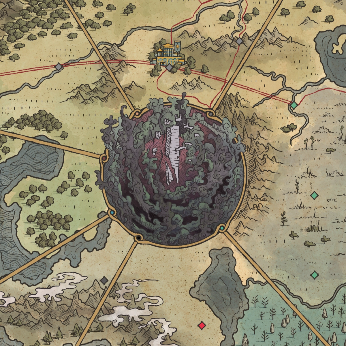
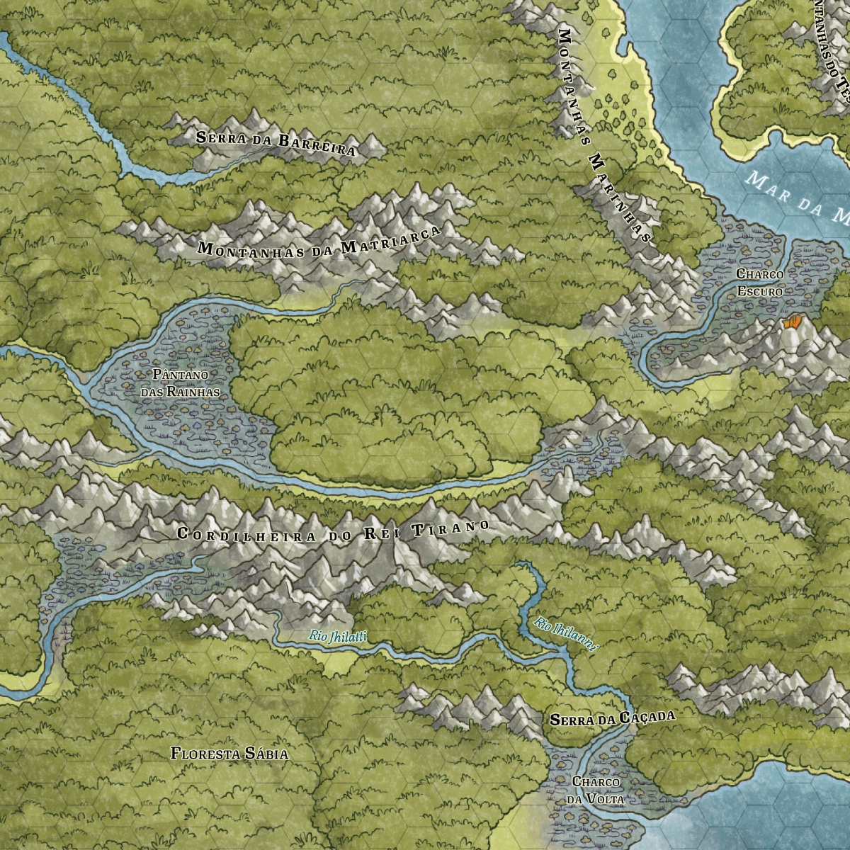
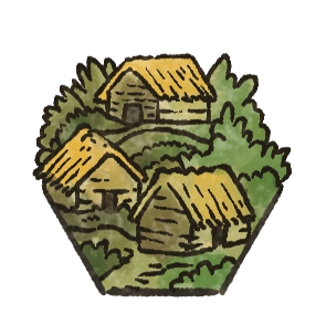
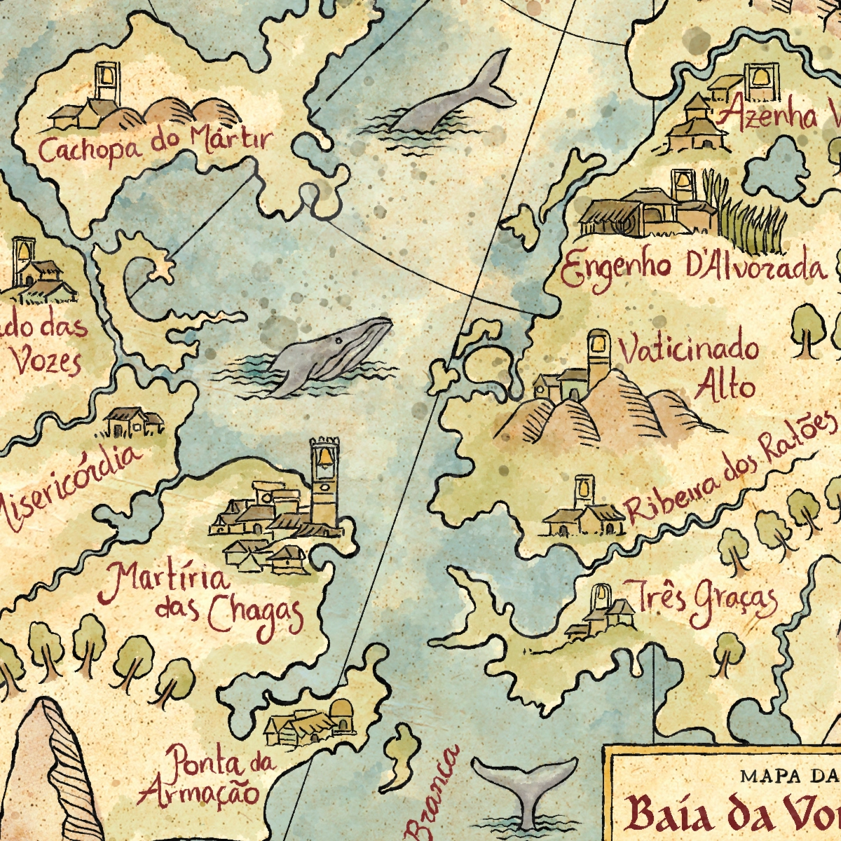
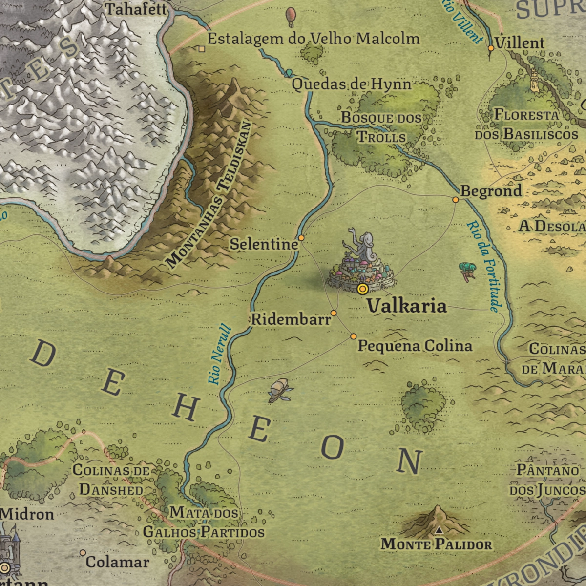
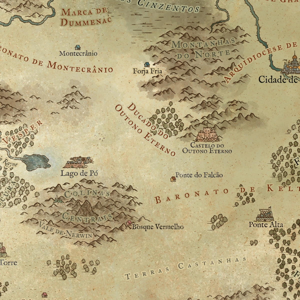
The main poster map served as the centerpiece of the publication and as the foundation for an extensive collection of regional maps, allowing each kingdom, frontier, and territory to be explored in greater depth. Beyond illustrating geography, the project sought to establish a unified visual language for Arton while preserving the unique identity and history of its many nations and cultures.

Published in 2023, the Atlas of Arton quickly became one of the setting’s definitive visual references. The book received the 2024 Goblin de Ouro Awards for both Best Artwork and Best Supplement, further cementing its importance within the Brazilian tabletop RPG community.

The project began with the creation of a large-format poster map of Arton, designed to present the continent as a unified whole and serve as a definitive reference for players and readers. Building upon this cartographic foundation, individual maps were then developed for each kingdom and major region of the setting, greatly expanding the level of detail and allowing the distinctive geographical, political, and cultural characteristics of each territory to be explored.

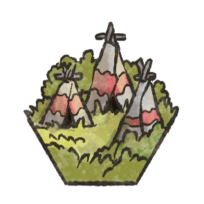
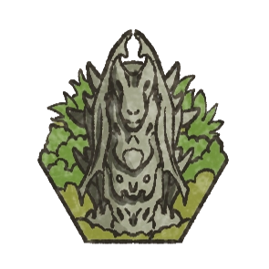
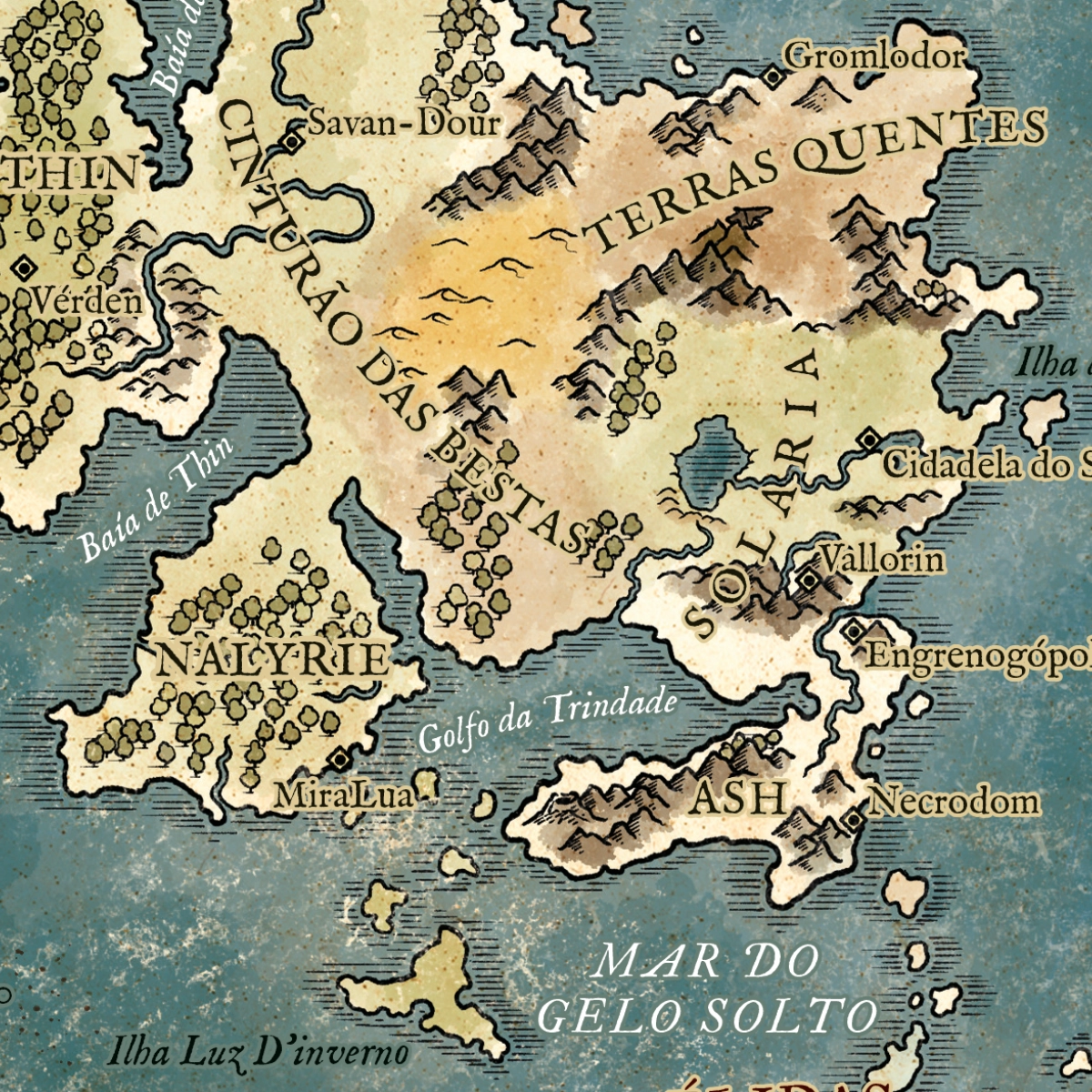
Among the most significant additions was Lamnor, a continent frequently referenced throughout Tormenta’s history but seldom depicted in detailed cartography. The project required consolidating information scattered across decades of publications to create the first comprehensive continental representation of the region, providing an unprecedented view of its nations, borders, and landscapes.

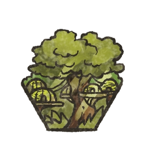
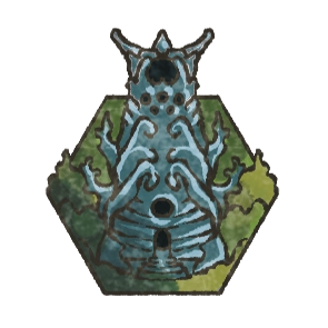
The atlas also introduced a new cartographic interpretation of Moreania, revisiting and expanding earlier depictions of the region. Particular emphasis was placed on reinforcing the unique identity of the realm of the moreaus, highlighting its territorial organization, characteristic environments, and relationship with the wider world of Arton.

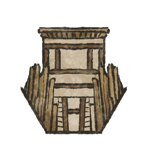
Likewise, Doherimm received an entirely new map developed to portray the legendary subterranean kingdom of the dwarves in far greater depth. One of the project’s central challenges was visually representing a territory defined by geological complexity and immense excavated structures, conveying both the grandeur and the ancient legacy of Doherimm civilization.

The Legend of Ghanor

The Legend of Ghanor

The Legend of Ghanor originated in the immensely popular actual-play specials produced by Jovem Nerd, Brazil’s largest pop culture and entertainment media brand. What began as a tabletop RPG campaign eventually expanded into a multimedia fantasy property encompassing novels, comics, and a standalone roleplaying game, becoming one of the most recognizable fantasy settings in contemporary Brazilian geek culture.

These maps were created as poster pieces for The Legend of Ghanor RPG. The project includes a large-scale map of the Kingdom of Ghanor—featuring an inset detailing its capital city—as well as a regional map depicting the lands surrounding the Seven Kingdoms.

Client
Jambô Editora
Date
November 2023
Dimensions
55 × 41 cm
Type
Regional maps

Designed to support both gameplay and worldbuilding, the maps sought to establish a cohesive visual identity for Ghanor while conveying the scale and diversity of the setting. Particular attention was given to readability and visual hierarchy, ensuring that the maps could function equally well as game aids, reference material, and collectible poster artwork.