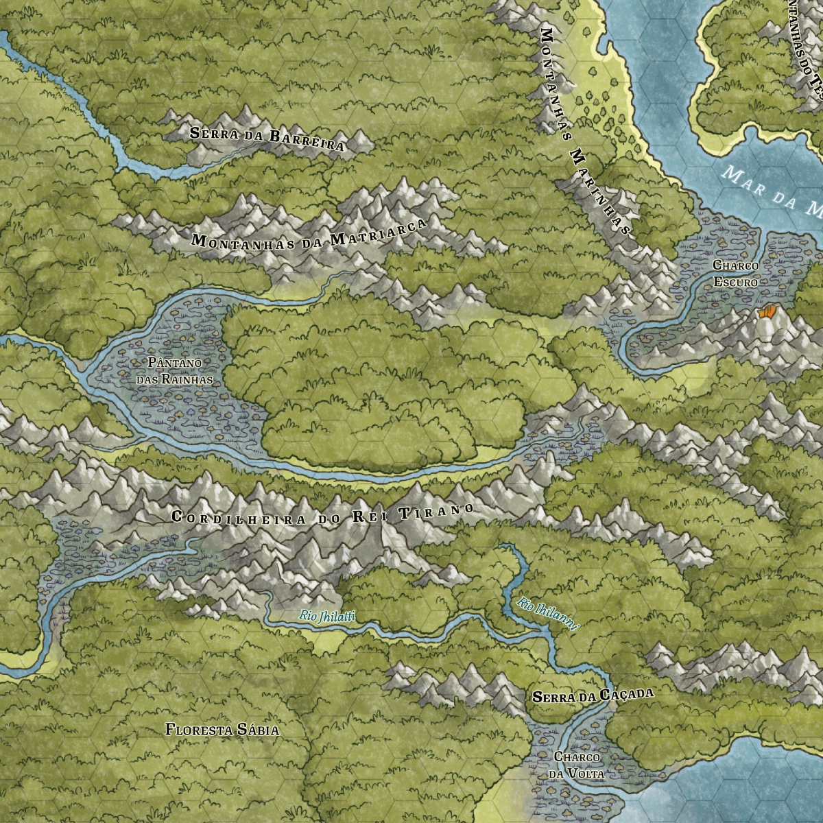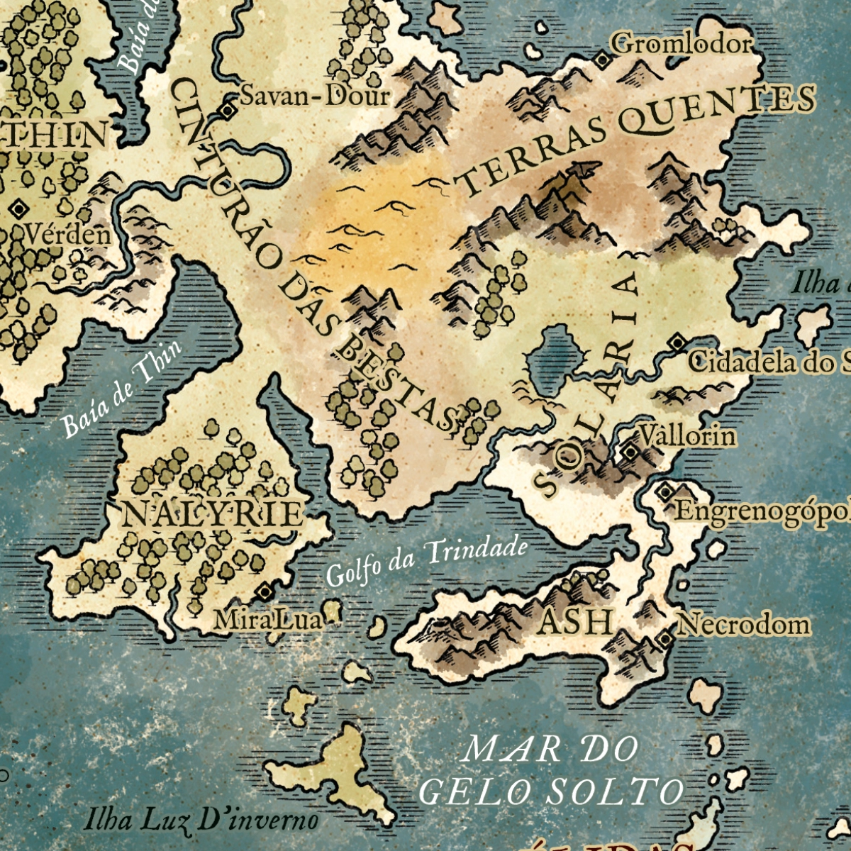
Malediction: Selejia
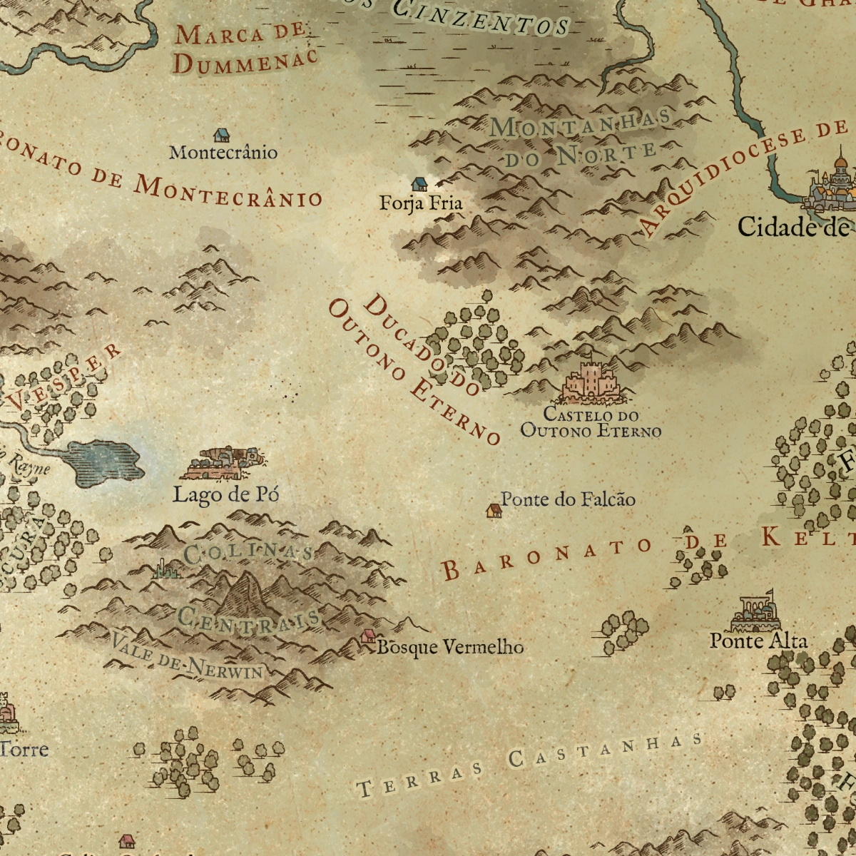
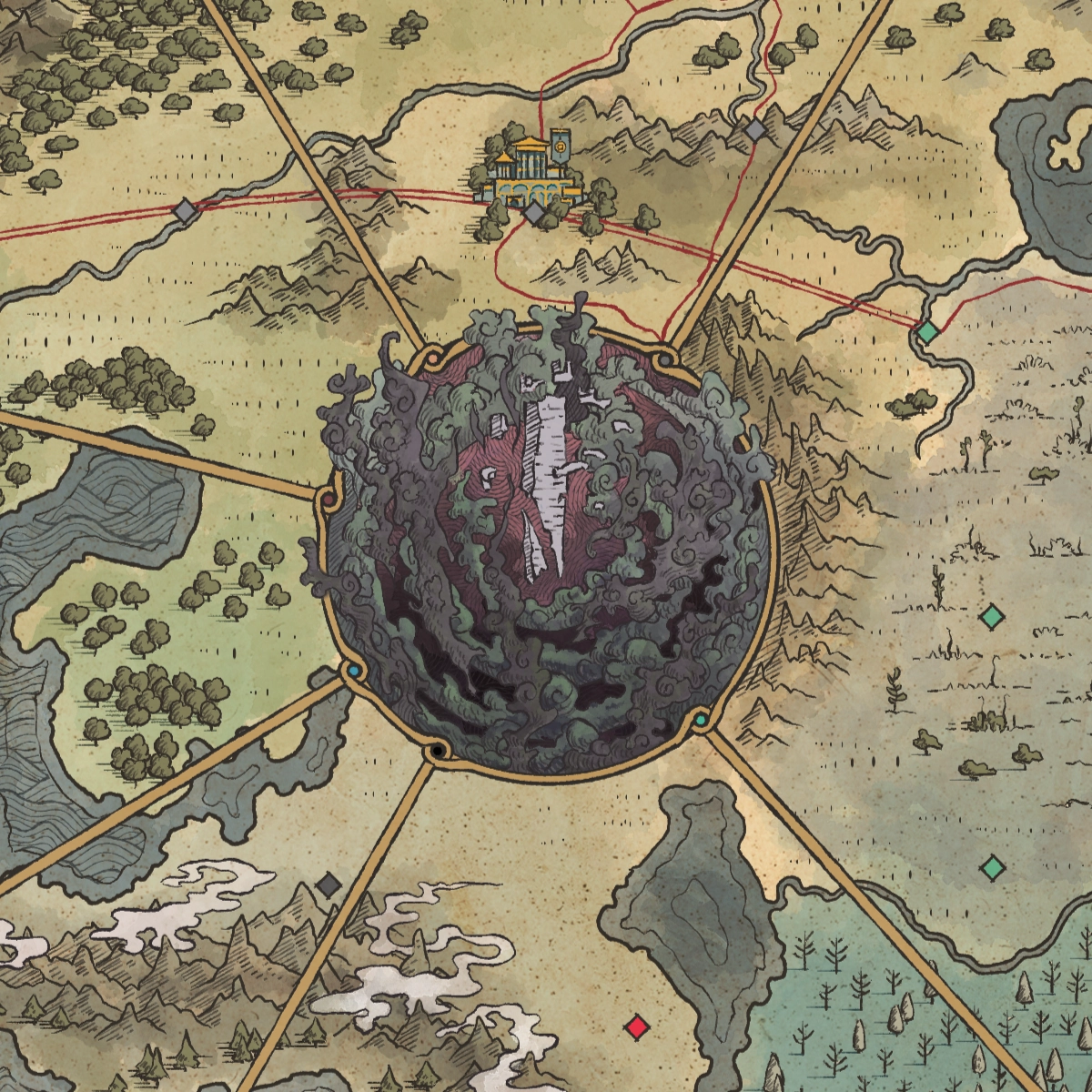
Created for the Malediction Lore Primer, a world guide for Loot Studios’ dark fantasy strategy game Malediction, this map depicts Selejia, the setting’s central continent. Developed by Loot Studios, one of the leading creators of premium 3D printable miniatures and tabletop gaming content, Malediction represents an ambitious expansion of the studio’s original intellectual properties, combining dark fantasy aesthetics, extensive worldbuilding, and strategy gameplay for a global audience.
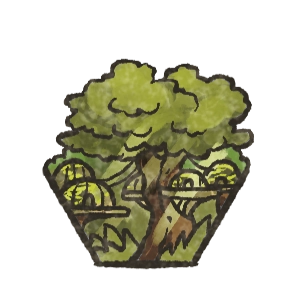
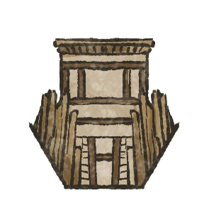
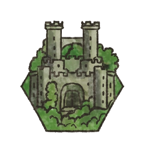
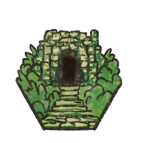
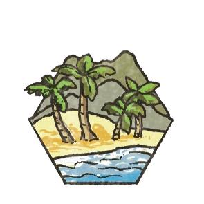
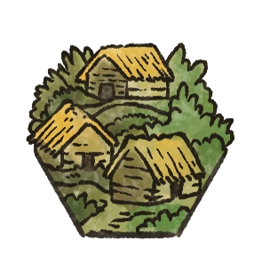
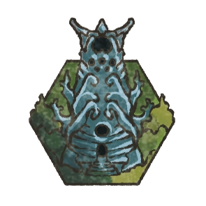
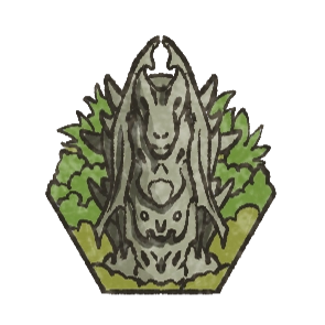
Designed to support the game’s rich lore and ongoing conflicts, the map was created to communicate not only the geography of Selejia, but also the territories and spheres of influence of the rival factions vying for its future. As a centerpiece of a publication dedicated to introducing the world, the piece balances clarity and functionality with a highly ornamental approach. Decorative elements and graphic embellishments were carefully integrated into the composition, allowing the cartography itself to reinforce the atmosphere, history, and visual identity of the setting.