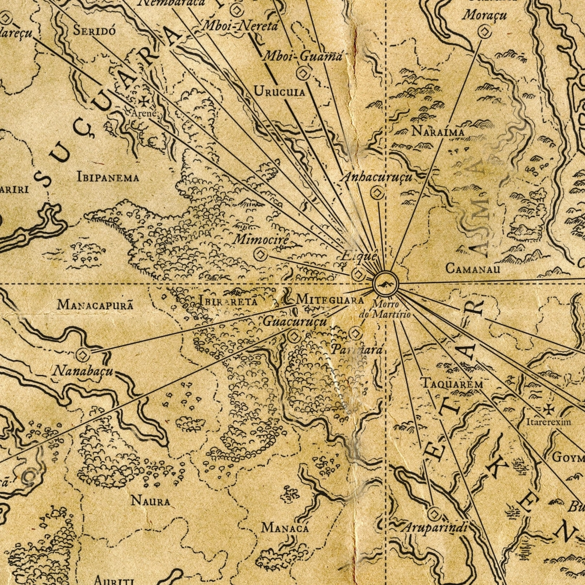
The Lands of Opath After the Third Fall
Skyfall RPG is a Brazilian epic fantasy roleplaying game set in the world of Opath, a setting defined by cycles of cataclysmic events known as the Falls. These world-altering disasters reshape continents, transform civilizations, and leave lasting marks on the history, geography, and cultures of the setting, making change itself one of Skyfall’s central themes.
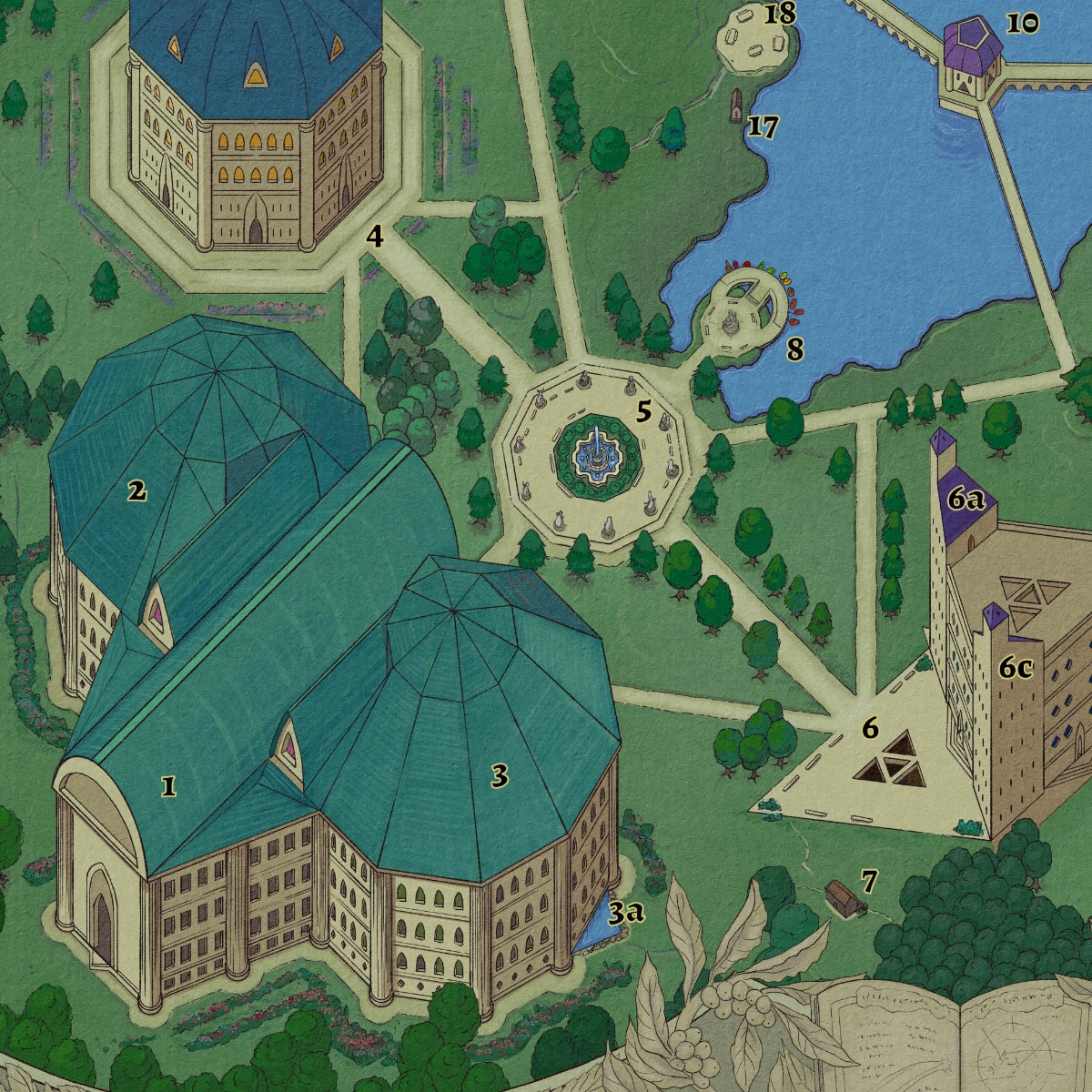
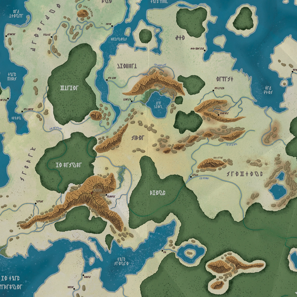
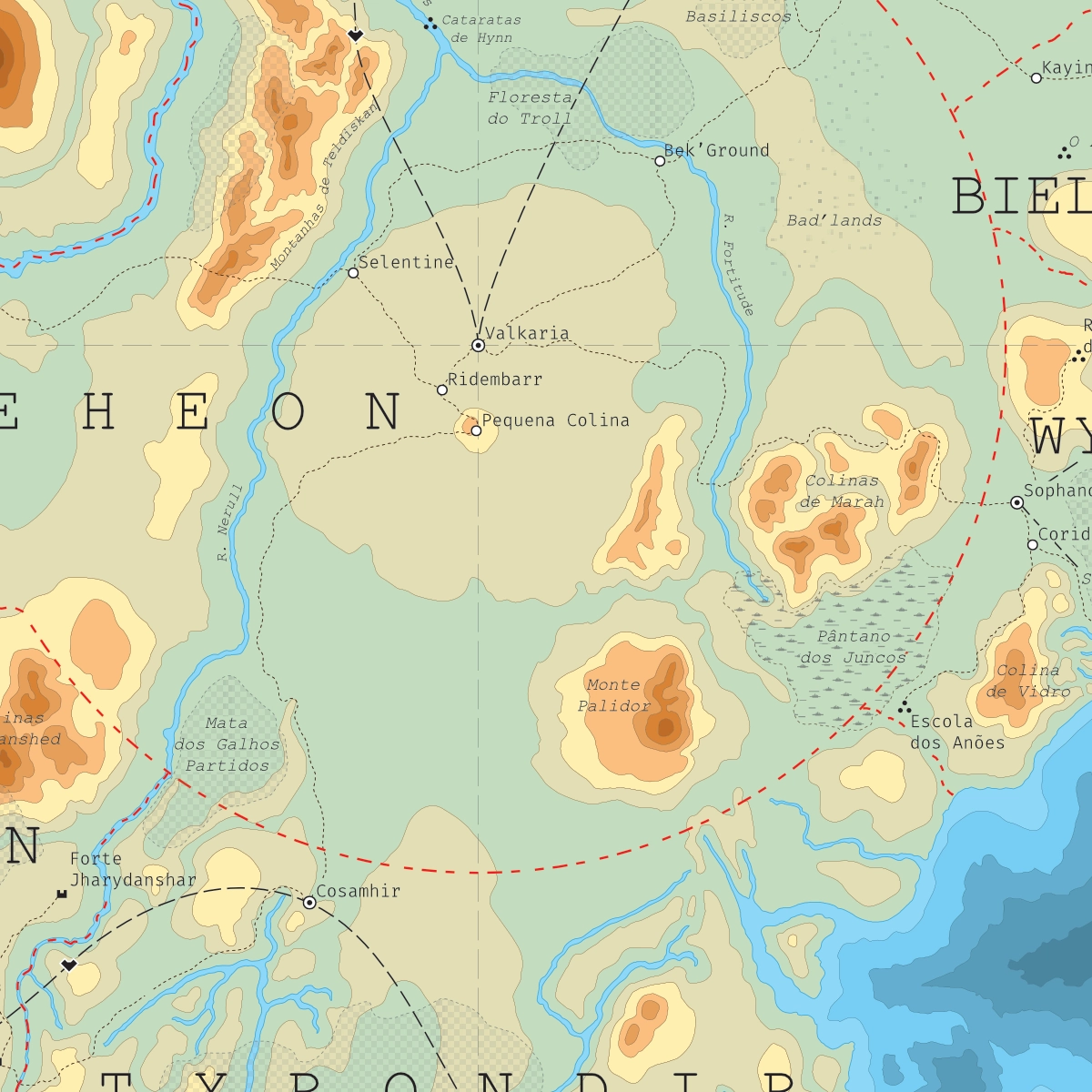
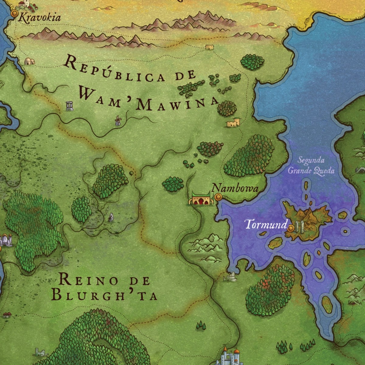
This map depicts the continent of Opath in the aftermath of the Third Great Fall, one of the most pivotal events in the chronology of Skyfall RPG. Developed to highlight the profound consequences of the cataclysm, the piece presents new political borders, settlements, and geographical features that emerged in the wake of the disaster.
Conceived as both a reference tool and a worldbuilding resource, the map allows players and readers to compare different stages in the evolution of the setting, illustrating how history, catastrophe, and human resilience have continually reshaped the face of Opath. Particular attention was given to communicating the scale of these transformations while preserving the continuity and identity of the world across different eras.