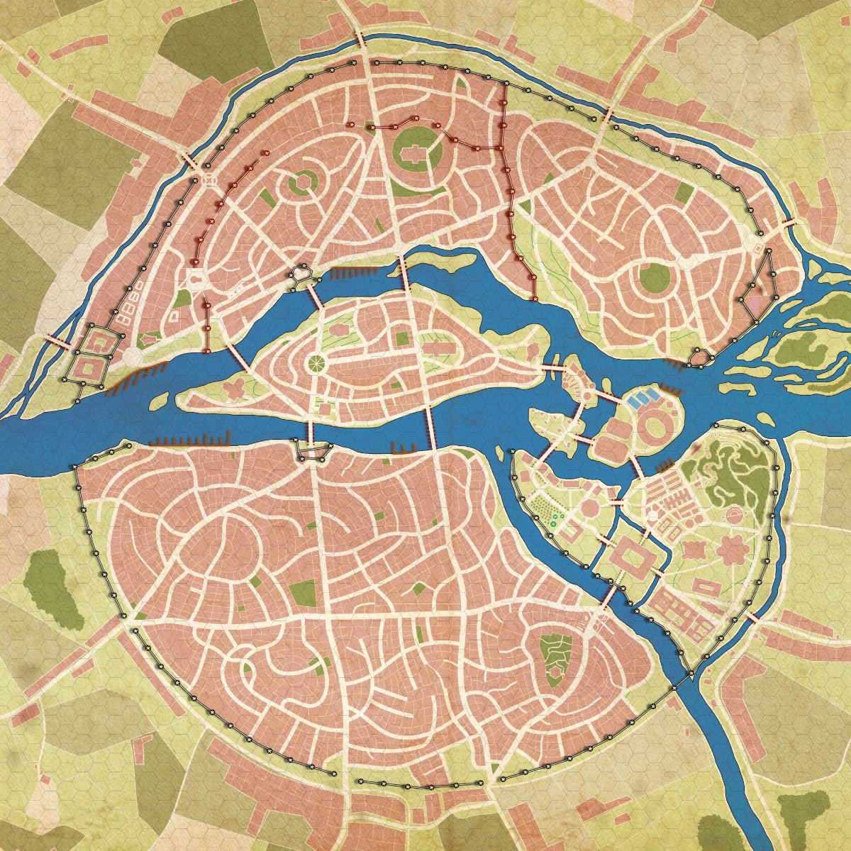
Bersìs, 1977

Bersìs, 1977

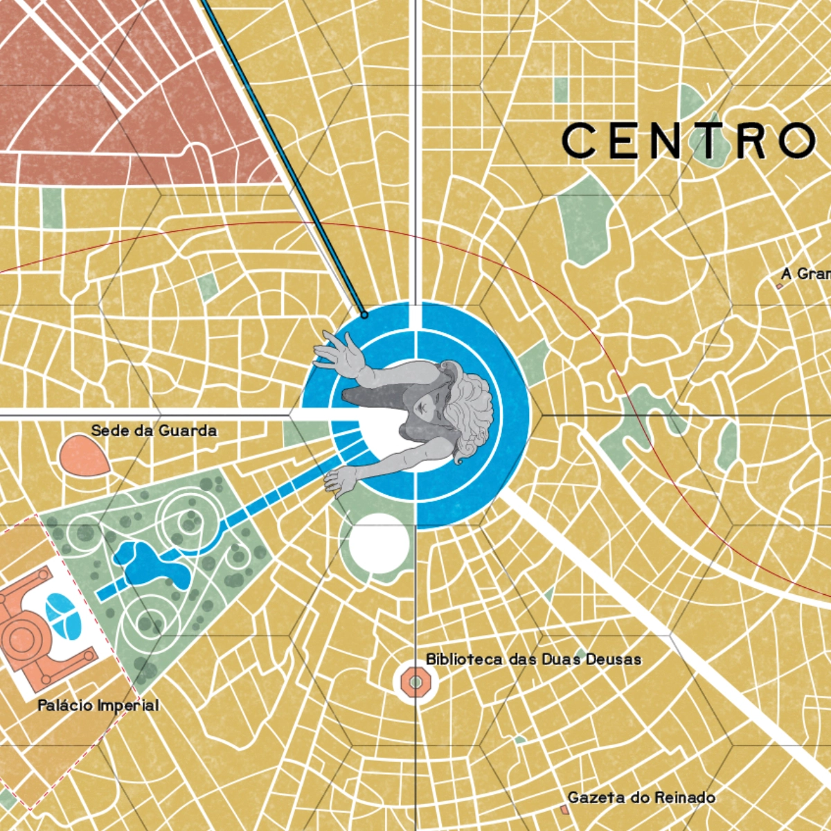
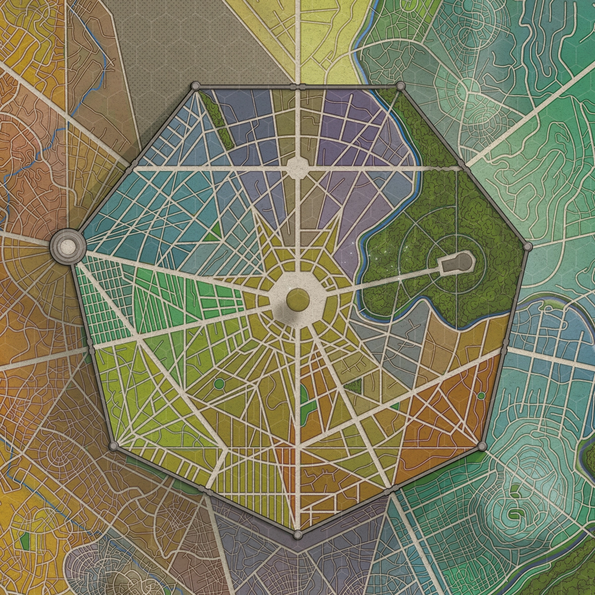
Bersìs is the capital of the kingdom of Verdennes and one of the foremost centers of knowledge, religion, and magic in the world of Ierri. Inspired by 12th- and 13th-century Paris, the city has grown for more than seven centuries along the winding Jeudis River. The map was designed to reflect this long and layered urban history, organizing its historic districts, central islands, cathedrals, fortifications, marketplaces, and the prestigious Arcane University into a coherent and believable whole.

Client
Estevão Balado
Date
November 2023
Dimensions
83 × 59 cm
Type
City map

Each district was conceived to express its own social, economic, and cultural role, creating a city intended to feel lived-in, inhabited, and shaped by generations of history. Particular attention was given to the relationship between urban growth, political power, religious institutions, and geography, reinforcing the sense of Bersìs as a functioning medieval metropolis.

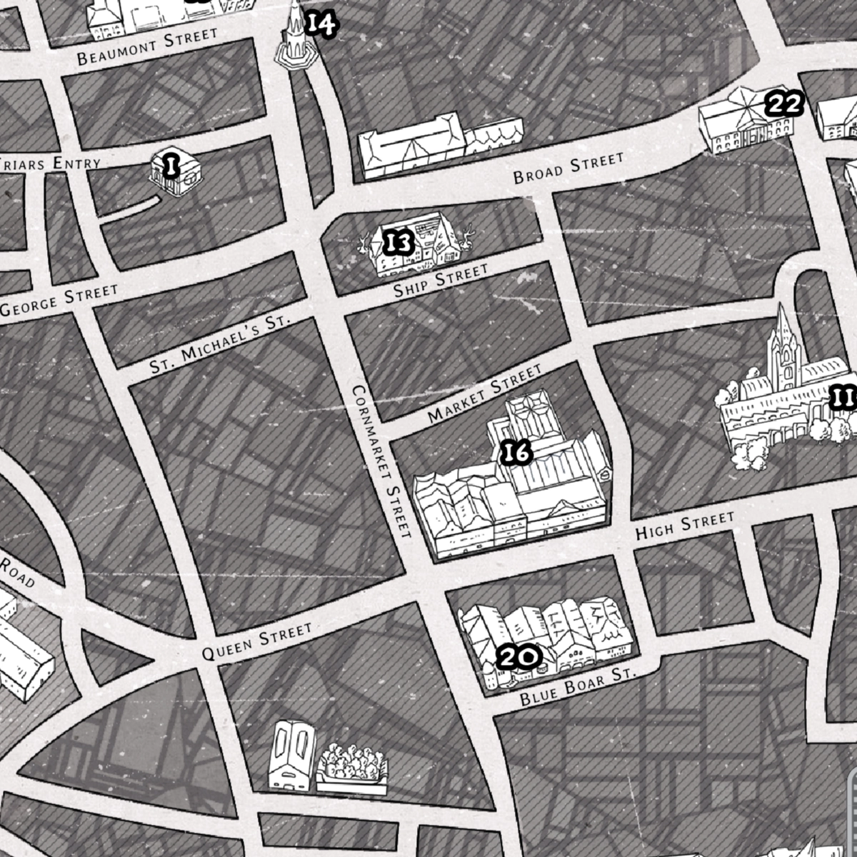
The map was developed for use in A Confraria‘s streamed campaigns set in Ierri. To support an evolving live-play format, location icons were created as separate assets and added to the map during broadcasts as new places, events, and storylines emerged throughout the campaign.

The Cthulhu Collection

NerdCast RPG: The Cthulhu Collection

NerdCast RPG is a series of actual-play productions created by Jovem Nerd, Brazil’s largest pop culture and entertainment media brand. Over the years, its campaigns have reached millions of listeners and expanded into novels, comics, and tabletop games, becoming one of the country’s most influential transmedia fantasy and roleplaying properties.

Client
Jambô Editora
Date
February 2022
Dimensions
23 × 15 cm
Type
City map

Set in an alternate version of Europe in 1926, The Enigma of the Hidden Sun is a gamebook written by Karen Soarele for NerdCast RPG: The Cthulhu Collection, a project derived from the acclaimed cosmic horror campaign created by Jovem Nerd, Azaghal, and fantasy author Leonel Caldela. Throughout the adventure, readers take on the role of investigators drawn into occult conspiracies, ancient artifacts, and eldritch threats inspired by the works of H. P. Lovecraft.

The map depicts the city of Oxford, one of the story’s principal starting locations. Drawing upon early twentieth-century cartographic references, the piece combines historical research with the investigative atmosphere characteristic of cosmic horror. The goal was to create a functional representation of the city that could serve both as a navigational aid for readers and as an extension of the book’s historical setting and immersive atmosphere.

End of Times: Valkaria

End of Times: Valkaria

Tormenta20 is Brazil’s leading fantasy tabletop roleplaying game and one of the country’s most successful and enduring fantasy properties. Set in the world of Arton, the game has evolved continuously for more than twenty-five years through rulebooks, novels, comics, streamed campaigns, and numerous supplements, establishing itself as a cornerstone of the Brazilian RPG industry.

Client
Jambô Editora
Date
July 2022
Dimensions
350 × 285 cm
Type
City map

Fim dos Tempos (End of Times) is an official Tormenta20 actual-play series published and streamed by Jambô Editora and game-mastered by acclaimed fantasy author Leonel Caldela, one of the setting’s principal creators. Followed by thousands of viewers, the campaign explores some of the most iconic regions of Arton through a blend of epic storytelling, exploration, and ongoing worldbuilding.

Created for Fim dos Tempos, this map depicts Valkaria, the largest city in Arton and the political, economic, and cultural heart of the continent. Home to adventurers, merchants, nobles, pilgrims, and travelers from every corner of the world, the metropolis has occupied a central role throughout the history of the setting and serves as the backdrop for numerous official adventures, sourcebooks, novels, and pivotal events in the ongoing narrative of Tormenta. As the setting’s most iconic urban environment, Valkaria has become one of the defining locations of Brazilian fantasy gaming.

The artwork draws inspiration from RPG maps published during the 1980s and 1990s, embracing a classic aesthetic that pays homage to the golden age of fantasy settings and the large poster maps traditionally included in game supplements. Particular attention was given to visual hierarchy, readability, and the city’s immense scale, seeking to capture both the grandeur and the lived-in complexity of a fantasy metropolis that has grown over decades of publication.

To support the needs of a live-streamed campaign, location icons were created as separate assets and overlaid during broadcasts as new places were discovered and explored by the players, allowing the map to evolve organically alongside the story.

Alberich, City of a Thousand Doors

Alberich, City of a Thousand Doors

Skyfall RPG is a Brazilian epic fantasy roleplaying game renowned for its ambitious worldbuilding and richly detailed setting. Throughout the world of Opath, sprawling cities, ancient civilizations, and the lasting consequences of mythical cataclysms shape adventures on both intimate and continental scales.

Client
Pedro Coimbra
Date
January 2021
Dimensions
21 × 29,7 cm
Type
City map

Known as the City of a Thousand Doors, Alberich stands among the greatest urban centers of Opath and serves as one of Skyfall’s foremost hubs of trade, culture, and travel. For countless adventurers, merchants, scholars, and pilgrims, Alberich is both a destination and a crossroads—a city where stories begin, alliances are forged, and the wider world converges.

The map was designed to capture the complexity and character of a metropolis shaped by centuries of growth. Distinct districts, major landmarks, transportation routes, and densely inhabited quarters were carefully organized to create a city that feels layered, believable, and alive. Particular attention was given to establishing a strong visual identity, ensuring that Alberich would be instantly recognizable both as a setting for play and as one of the iconic locations of Skyfall.

Beyond functioning as a navigational aid during adventures, the map was conceived as a storytelling tool—one capable of suggesting social dynamics, historical development, and countless opportunities for exploration within the fabric of the city itself.